
Aerospace / Ground Control
Auratrax
A map-first ground-control experience for mission planning, flight visibility, and operator workflows.
Product Design · UI/UXVICTOR KALU / SELECTED WORK
01 / AT A GLANCE
- Project
- Auratrax
- Practice
- Product Design / UI/UX
- Collection
- Selected work
A CLOSER LOOK
A map-first ground-control experience for mission planning, flight visibility, and operator workflows.
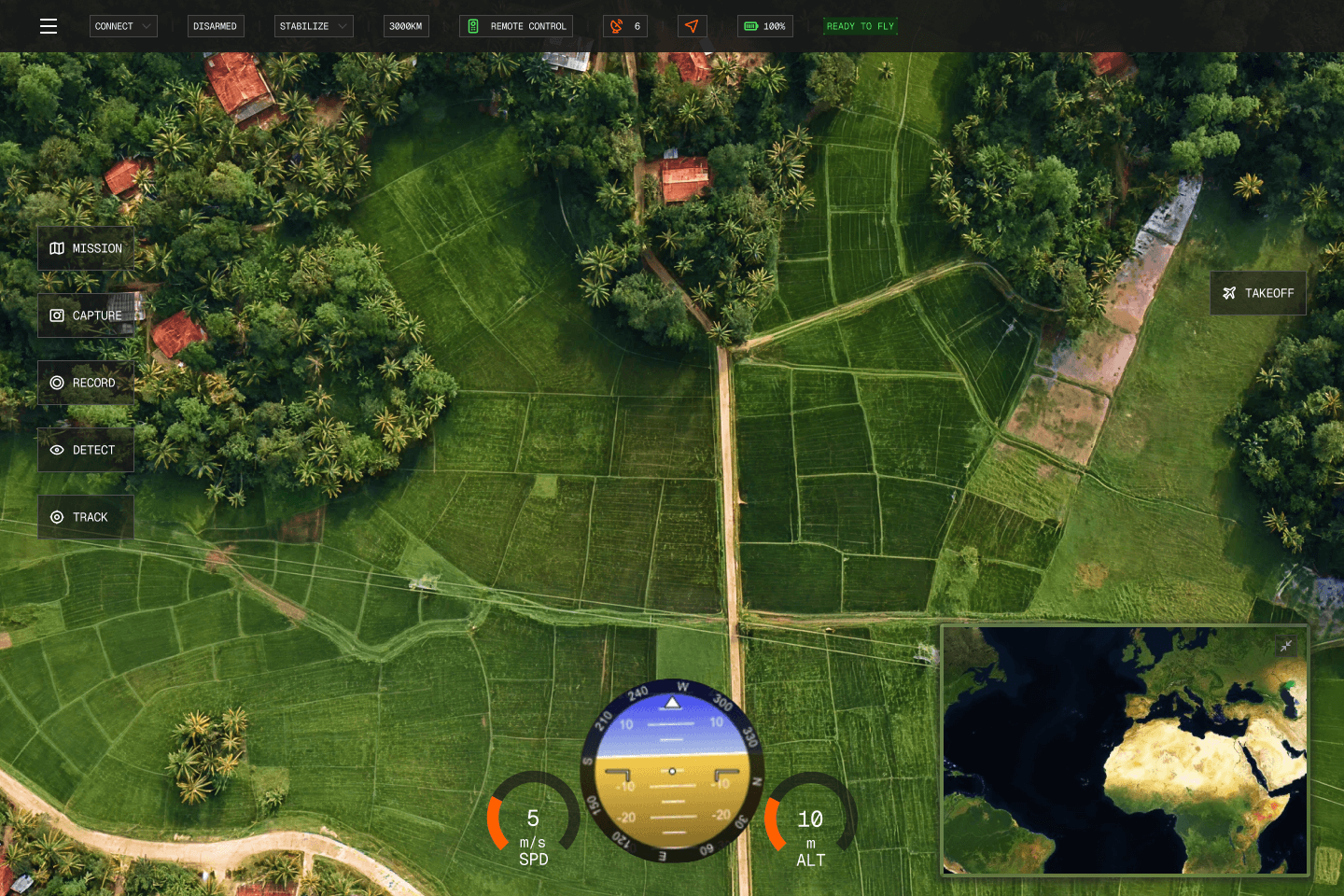
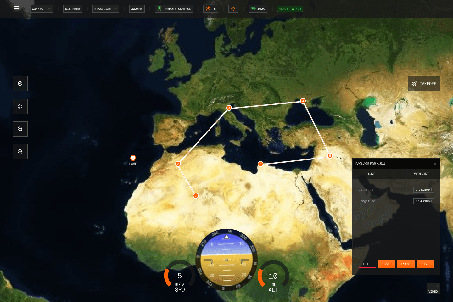
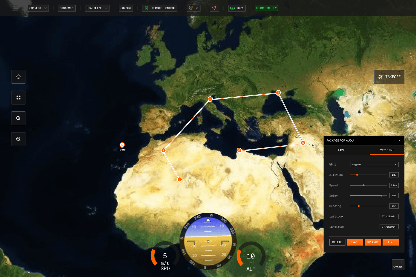
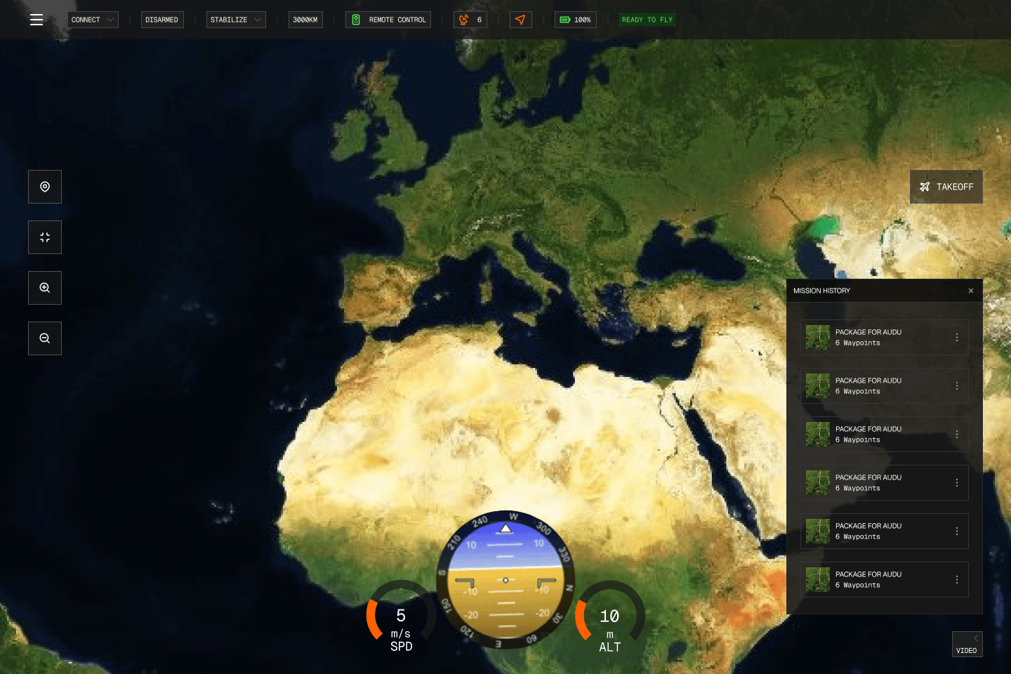
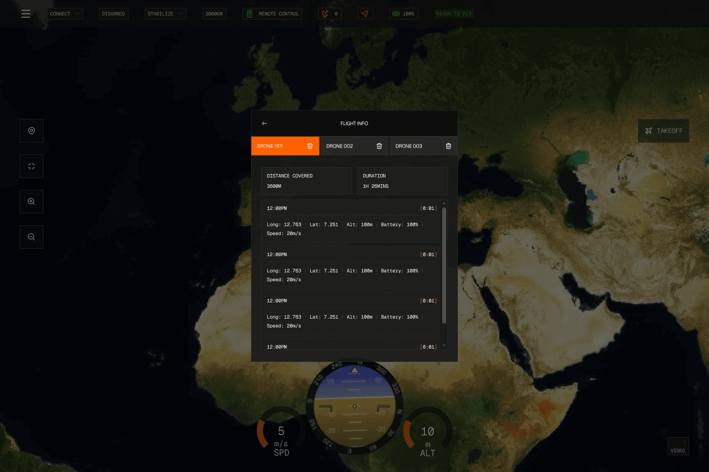
Auratrax explores a desktop ground-control interface that puts terrain imagery at the centre of drone mission activity. The original Figma work connects waypoint planning, mission history, flight status, and telemetry readouts through a dark operator-facing visual system.
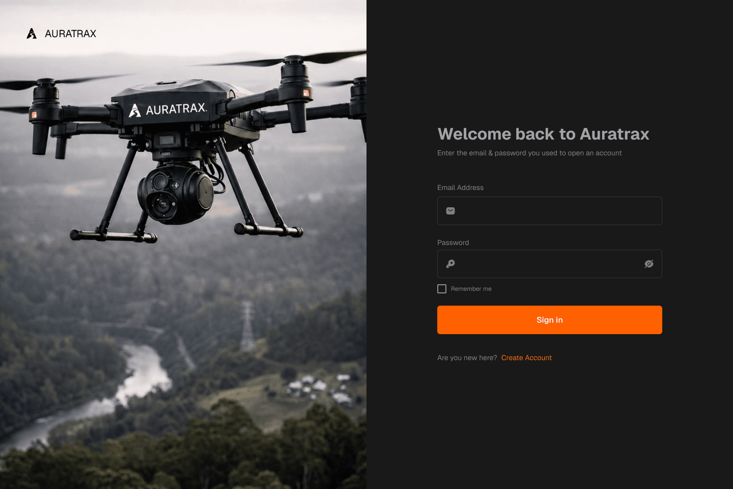
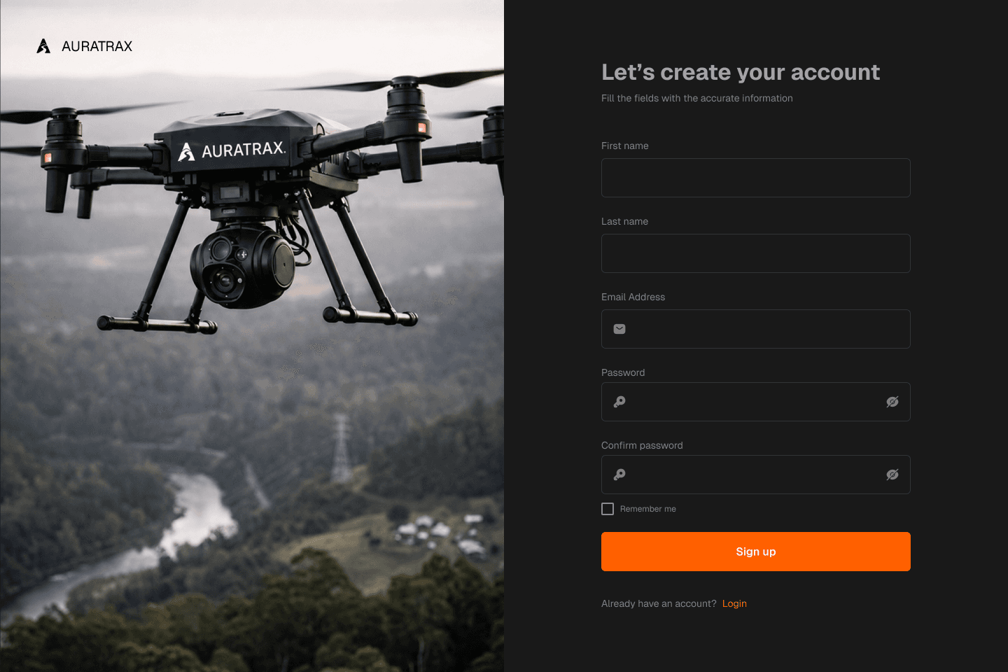
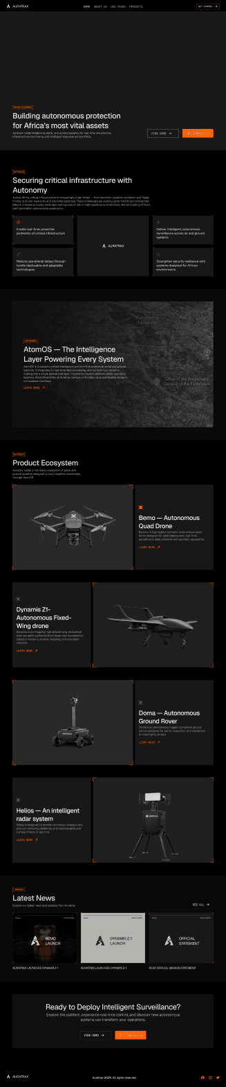
The source file also includes account-access designs, a product website, and drone product pages. These are design artifacts: the illustrated routes, flight readings, hardware capabilities, and operational states are not evidence of field testing, launched technology or real-world mission results.
02 / THE VISUAL LANGUAGE
Keeping the map at the centre of mission control.
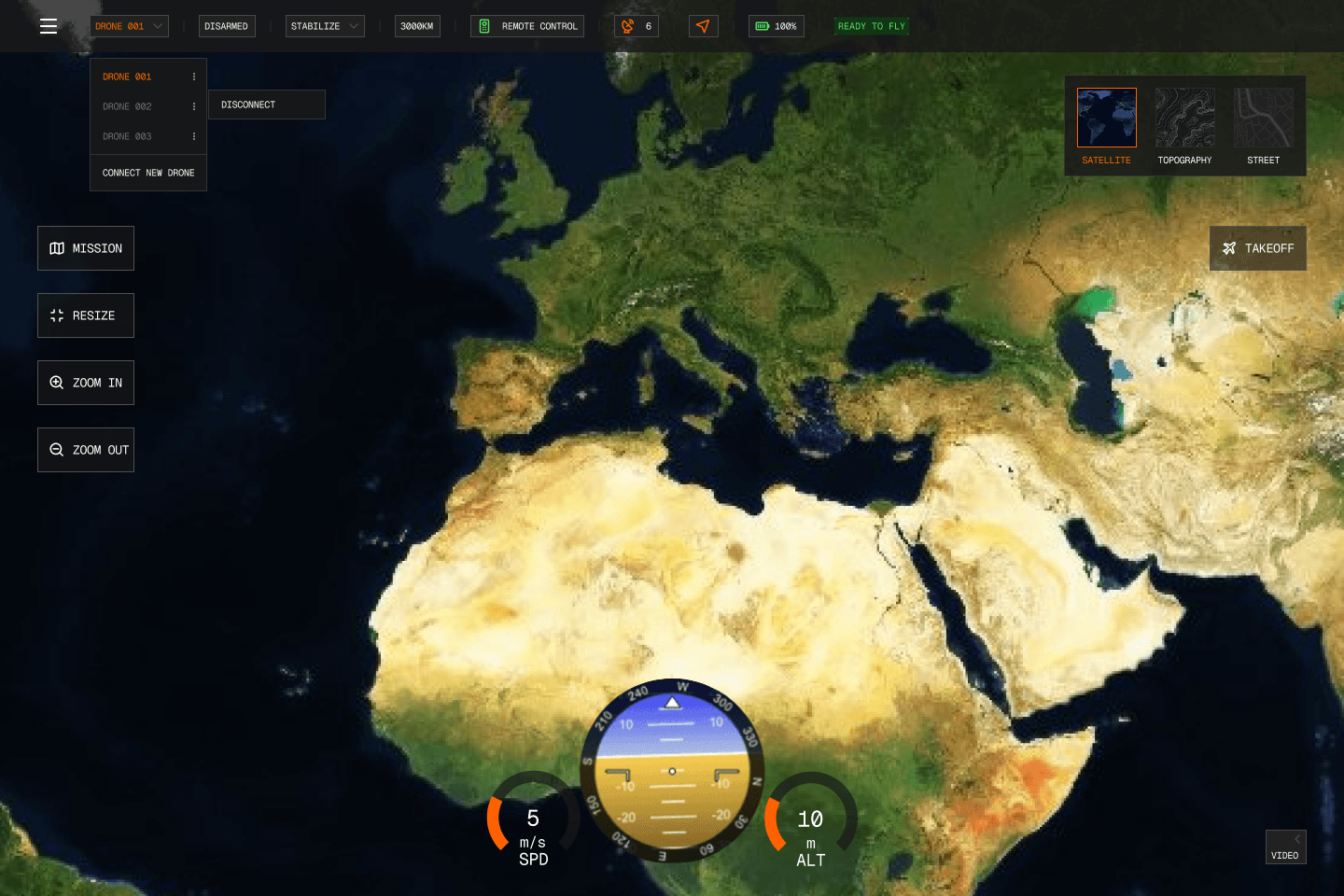
Dark overlays and compact controls leave the map visible while providing clear paths to mission actions. Orange waypoint markers, route lines, flight-state labels and telemetry dials organize information without replacing the operator's geographic context.

03 / NOTES ON THE WORK
Control tools and brand, in one visual language.
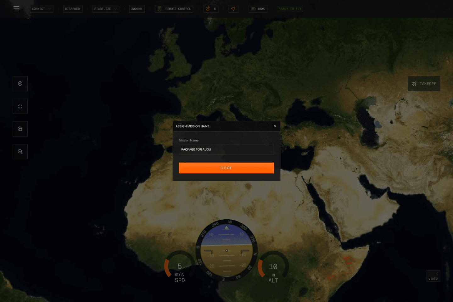
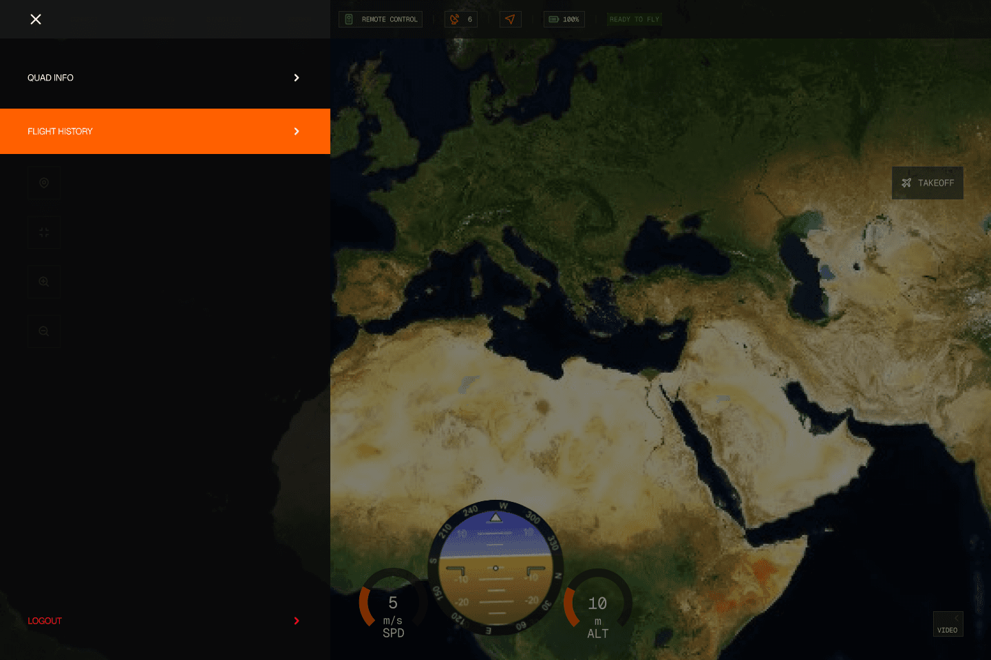
Screens for creating missions, editing waypoints, viewing flight information and switching map layers extend the operator experience. Sign-in, registration and marketing pages carry the same dark visual system into the broader product presentation. The gallery illustrates these explorations, not proven drone operation.
MORE FROM THE ARCHIVE
View all work